
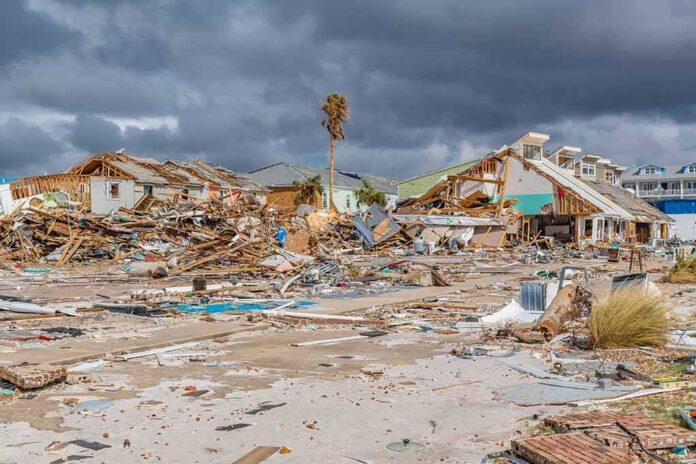
A powerful 7.7-magnitude earthquake struck off Indonesia’s Flores Island early Saturday, killing at least two people and triggering a tsunami warning that sent hundreds fleeing toward higher ground.
Story Snapshot
- A 7.7-magnitude earthquake hit off Flores Island in eastern Indonesia on August 15, 2026.
- The quake killed at least two people, according to authorities.
- Indonesia’s Meteorology, Climatology, and Geophysics Agency (BMKG) issued a tsunami warning for several coastal regions.
- The warning was lifted within a few hours after sea levels stayed mostly calm.
- Tsunami waves under one meter were recorded in some coastal areas.
Quake Strikes Off Flores Island Before Dawn
The earthquake struck early Saturday morning off the north coast of Flores Island in eastern Indonesia. The United States Geological Survey (USGS) measured the quake at 7.7 magnitude, with a shallow depth of about 15 kilometers. The epicenter sat roughly 68 kilometers northwest of the town of Ende, in the Flores region.
Shallow quakes like this one tend to shake the ground harder and pose a bigger tsunami risk than deeper ones. The USGS said damage and some casualties were likely, though it expected the impact to stay fairly local rather than spread across the wider region.
Tsunami Warning Covers Multiple Coastlines
BMKG issued a tsunami warning covering Maluku, East Nusa Tenggara, West Nusa Tenggara, and southeast and south Sulawesi. The agency urged people near the coast to move to higher ground and stay away from beaches. Hundreds of residents evacuated their homes in the hours after the quake, following official guidance broadcast across the affected areas.
At least two deaths were confirmed following the earthquake, according to authorities cited by news outlets covering the disaster. Officials continued assessing damage across the Flores region as the search for information on injuries and destroyed buildings went on through the day.
Warning Lifted After Waves Stay Small
BMKG lifted the tsunami warning about two to three hours after the quake once monitoring showed no dangerous sea level rise. Recorded waves stayed under one meter, or about three feet, in the areas being watched. The agency based its decision on real-time observations from coastal gauges rather than a fixed timer.
This kind of fast warn-then-confirm approach is standard practice for tsunami agencies worldwide, not unique to Indonesia. Warning systems are built to issue alerts within minutes of a big quake, using seismic data alone, then update or cancel that alert as tide gauges and other sensors report back real conditions.
Why Warnings Get Lifted Quickly
Tsunami warning agencies face a tough balancing act. Acting fast on limited data can mean false alarms, but waiting for full certainty can cost precious evacuation time. Research on these systems shows that seismic-and-tide-gauge methods have long carried a high false-alarm rate, while more precise deep-ocean sensors often report back too late to help coastal residents.
That tradeoff explains why BMKG’s process moves in stages: a fast initial alert, followed by updates, and then an all-clear once the danger passes. Indonesia has also expanded its sensor network in recent years, adding hundreds of seismograph stations aimed at making these warnings faster and more accurate.
Magnitude 7.7 earthquake hits Indonesia, tsunami warning issued
After the 7.7-magnitude #earthquake in Indonesia, a #tsunami warning was issued by Indonesia's National Agency for Disaster Countermeasure(BNPB). Soon, waves under 1 metre were recorded in several areas.
The… pic.twitter.com/NVQdZNf0Wa
— Inspirepreneur (@Inspirepreneur_) August 15, 2026
Indonesia sits on the Pacific “Ring of Fire,” a zone known for frequent, often powerful earthquakes and volcanic activity. Saturday’s quake adds to a long list of major seismic events the country has faced, underscoring why its warning systems remain under constant use and scrutiny from residents and scientists alike.
Sources:
rri.co.id, abs-cbn.com, inatews.bmkg.go.id, nypost.com, earthquake.usgs.gov, yahoo.com, nctr.pmel.noaa.gov, nbcnews.com
© nationalusnews.com 2026. All rights reserved.